Welcome to Gaia 3D
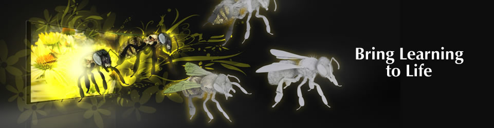
 Enter the world of Gaia 3D. Visual learning plays a key role in the teaching and learning process. Gaia 3D is the new generation 3D solution that allows you to explore new frontiers. A tool to enhance the work you do in the classroom. Gaia 3D helps teachers to teach those ‘hard to reach’ concepts whilst engaging students and bringing lesson content to life.
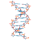
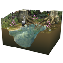
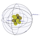
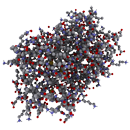
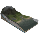
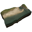
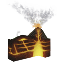
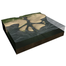
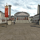
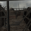
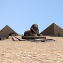
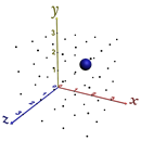
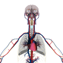
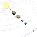
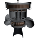
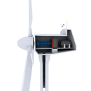
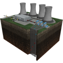
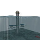
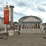
The 3D learning experience places students in virtual environments, allowing them to walk down a street in ancient Rome, visit the outer reaches of the universe or move through the chambers of a beating heart. Read More
Gaia 3D Viewer
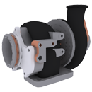
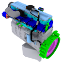
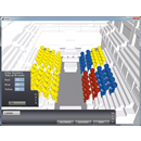
 The Gaia 3D Solutions are designed with the classroom in mind. Teachers are able to begin teaching lessons in 3D straight away without any specialised IT skills or knowledge. 3D learning options offer a variety of capabilities, from a simple classroom version to an advanced large-venue setup. Teachers are able to immerse students in a fully interactive learning environment that enhances student engagement and participation, which all teachers wish for. All of our 3D Solutions are designed to complement a school’s curriculum and improve the ability of students to learn.
Read More
 View our latest videos here including ‘How to’ Tutorials.
  Explore our useful Learning Resources tools to support your 3D experience.
  Discover the latest 3D research.
  Join the Gaia 3D Community. Immerse Yourself!
  The first Academy to fully embrace Gaia's 3D Learning Platform.
  Gaia Technologies, transforming onsite ICT.
  Best in Class ICT.
  Gaia Technologies creating a robust, reliable ICT infrastructure.